
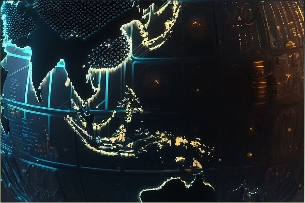
Welcome to a world where virtual models of physical reality, known as geospatial digital twins, are transforming the field of Earth observation. In this article, we explore the potential of digital twins to revolutionize how we monitor and understand our planet. By continuously updating to reflect real-world changes, these virtual models offer real-time insights and accurate representations of our physical environment. Join us as we delve into the possibilities and challenges of geospatial digital twins and their potential to reshape Earth observation.
The Power of Geospatial Digital Twins
Explore how geospatial digital twins have the potential to revolutionize Earth observation.
Geospatial digital twins are virtual models that provide real-time updates on the physical world. By continuously reflecting changes in the real environment, these digital twins offer a powerful tool for Earth observation. Imagine being able to monitor and understand our planet with accurate and up-to-date information at our fingertips.
With geospatial digital twins, we can track changes in land use, monitor natural disasters, and analyze environmental patterns. The possibilities are endless, and the potential for advancing our understanding of the Earth is immense.
Overcoming Challenges in Geospatial Digital Twins
Discover the challenges that need to be addressed for geospatial digital twins to reach their full potential.
While geospatial digital twins offer great promise, there are several challenges that need to be overcome. One of the main hurdles is reducing the twinning rate, the time it takes for the digital model to update and accurately represent the physical entity.
Another challenge lies in the scale and complexity of geospatial digital twins. Operating at regional and global scales requires massive amounts of data and computational power. Additionally, ensuring data interoperability and overcoming the traditional sequential workflow mindset are key challenges in creating efficient geospatial digital twins.
The Role of High-Performance Computing
Explore how high-performance computing can enable the development of geospatial digital twins.
High-performance computing (HPC) plays a crucial role in advancing geospatial digital twins. By integrating HPC with geospatial workflows and remote sensing, we can increase the scale and reduce the twinning rate of these digital models.
ORNL, with its expertise in HPC and geospatial data processing workflows, is at the forefront of this development. Researchers are already making progress in collapsing the twinning rate from years to hours, thanks to novel algorithms and 3D elevation models.
Applications of Geospatial Digital Twins
Discover the wide range of applications where geospatial digital twins can be utilized.
The applications of geospatial digital twins are vast and diverse. One key area is in supporting mobility, humanitarian assistance, and disaster relief efforts. By providing real-time information on infrastructure, population density, and environmental conditions, geospatial digital twins can aid in planning and decision-making.
Additionally, geospatial digital twins have the potential to revolutionize industries such as agriculture, urban planning, and natural resource management. By continuously updating and providing accurate representations of the physical world, these digital twins can optimize processes, improve efficiency, and drive innovation.
